Utility Pacific Gas and Electric (PG&E) began seeking potential buyers today for two aging dams on the upper Eel River, even as new questions emerge about the vulnerability of the larger dam to seismic shocks. A conservation group working to remove the dams released a technical analysis today that identifies an active landslide above the upper dam as “a significant geological hazard to the dam.” The report show how the slide is likely to move significantly in response to the kinds of seismic events a nearby fault could generate.
Scott Dam and Cape Horn Dam were built to divert water from the upper mainstem Eel River to the upper East Branch of the Russian River through Potter Valley. Together, the two dams and associated diversion works are called the Potter Valley Project, which is licensed as a hydroelectric project by the Federal Energy Regulatory Commission (FERC). The entire Project is now being re-evaluated in a FERC relicensing process that may conclude as early as 2022.
Any new FERC license for the Potter Valley Project is likely to impose new requirements that the 130’ Scott Dam be significantly modified to provide passage for salmon and steelhead. However, despite the fact that the Eel River dams are twice the age of Oroville Dam — which nearly collapsed despite routine safety inspections — FERC has refused to consider dam safety issues in the proposed relicensing of Scott Dam and the Potter Valley Project.
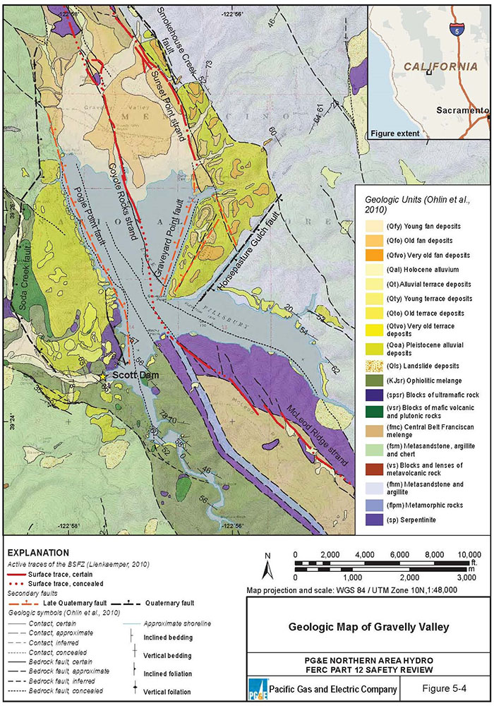
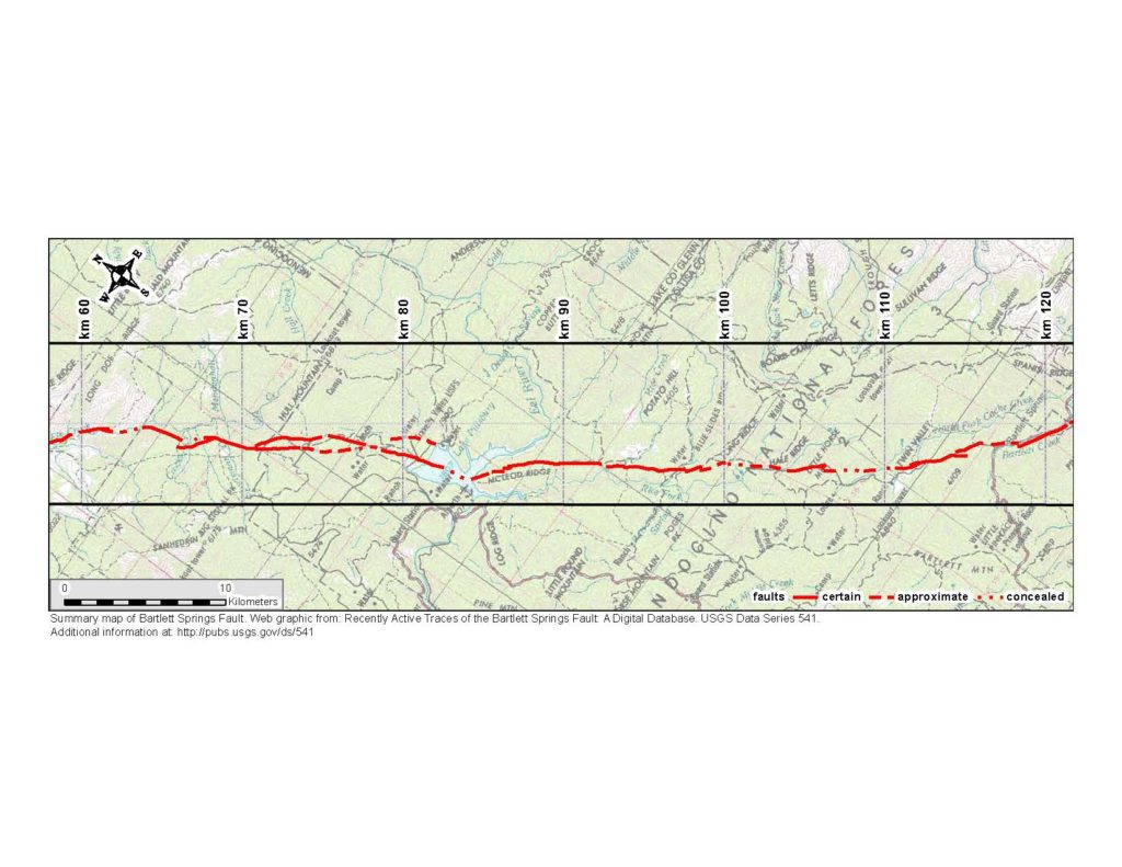
A key safety concern is the proximity of Scott Dam to the Bartlett Springs fault complex. The Bartlett Springs fault was not identified until the 1970s, some fifty years after Scott Dam was constructed within a mile of the most active portion of the fault. It is now clear that the more than one hundred mile long Bartlett Springs fault is capable of producing very significant earthquakes, possibly greater than magnitude 7.
Unfortunately, most of the existing information about the Bartlett Springs fault and the susceptibility of Scott Dam to a seismic event is concealed behind a bureaucratic shield of secrecy. Under the provisions of the 2001 Patriot Act, a wide range of information critical to assessing the safety of dams is classified as Critical Energy Infrastructure Information (CEII) and kept secret from the public.
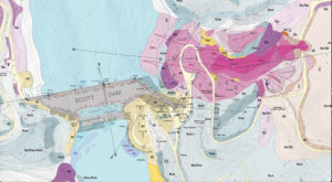
Against this backdrop, Friends of the Eel River commissioned Miller Pacific Engineering Group to assess the potential for an active landslide above Scott Dam’s left (southern) abutment to affect the dam and its reservoir during a seismic event. Miller Pacific applied the analytic techniques and standards used by both California’s Division of Safety of Dams (DSOD) and FERC’s own Dam Safety program. The analysis indicates that “landslide displacements will occur during a strong seismic event.”
Miller Pacific’s results suggest that the landslide mass, which measures approximately 500 feet in length and 160 feet in width, extends to potential depths of as much as 110 feet. The landslide appears to contain more than 8,000,000 ft3 (cubic feet) of material estimated at approximately 130 pounds per cubic foot. During a seismic event, the force at the toe of the landslide could be 125 million pounds.
Miller Pacific engineers concluded “it is our professional opinion that the large landslide complex adjacent to, and possibly below, the left abutment presents a significant geological hazard to the dam that requires further investigation. Since the dam acts as a strut across the Eel River, the landslide mass may be applying a significant soil pressure to the dam. In addition, the preliminary calculated seismic displacements are enough to cause concern about uplift or damage to the dam from landslide movement during a strong seismic event.”
“This analysis provides another sobering note for parties who may be considering attempts to purchase the Eel River dams,” said David Keller, Bay Area Director for Friends of the Eel River. “The enormous liabilities this significant dam failure risk poses compound the already mounting costs of maintaining and operating the dams.”
Friends of the Eel River (FOER) is one of a number of conservation, fishing, and other groups working to remove the dams from the Eel River and restore the Eel River’s once prolific salmon and steelhead fisheries.
###
Links to Supporting Documents:
Miller Pacific Technical Memo on Scott Dam Slope Stability
Click on the below images for enlarged versions.
 Click image to see three photos taken during Scott Dam construction in 1920 and 1921 that show a boulder labeled “the knocker” slide toward the dam. Click here for an excerpt about the 1920 landslide |
|||


